

-80%

Garmin 101316900 Marine Cartography
Original price was: $312.99.$62.60Current price is: $62.60.
Garmin 101316900 Marine Cartography Product Description
Featuring vibrant colors, a streamlined interface and combined coastal/inland content with a popular Navionics® style color palette, Garmin Navionics+ cartography makes it easy to plot your course with the world’s No. 1 name in marine mapping.
Garmin 101316900 Attributes
- Compatibility: Compatible With Chart Plotters
- Chart Coverage: America
Garmin 101316900 Features & Benefits
- Navigate With The Best Offshore And Inland Lake Coverage For Your Garmin Chartplotter
- Customize Your View With Various Chart Layers And Overlay Combinations
- Auto Guidance+™ Technology2 Lets You Navigate With Suggested Dock-To-Dock Routings
- Access Detail-Rich Mapping Of Coastal Features, Lakes, Rivers And More
- Integrated Garmin And Navionics® Content Offers Coverage For Boaters Worldwide
- Built-In Auto Guidance+ Technology2 Gives You A Suggested Dock-To-Dock Path To Follow Through Channels, Inlets, Marina Entrances And More
- To Give A Clear Picture Of Shallow Waters To Avoid, This Feature Allows For Shading At A User-Defined Depth
- No Supplier Warranty
Frequently Asked Questions (FAQ) About Garmin 101316900 Marine Cartography
Who is the Garmin?
What is the compatibility of this product?
Who is the Garmin?
Garmin is a leader in Global Positioning System (GPS) technology and an innovator in consumer electronics. Garmin serves both the aviation and consumer markets. Garmin‘s products are used in flying, boating, driving, hiking, and many other activities. Specifically, Garmin aims to enrich the lives of customers, suppliers, distributors, and employees by providing the very best products that offer superior quality, safety, and operational features at affordable prices.
Related products
-
Electronics
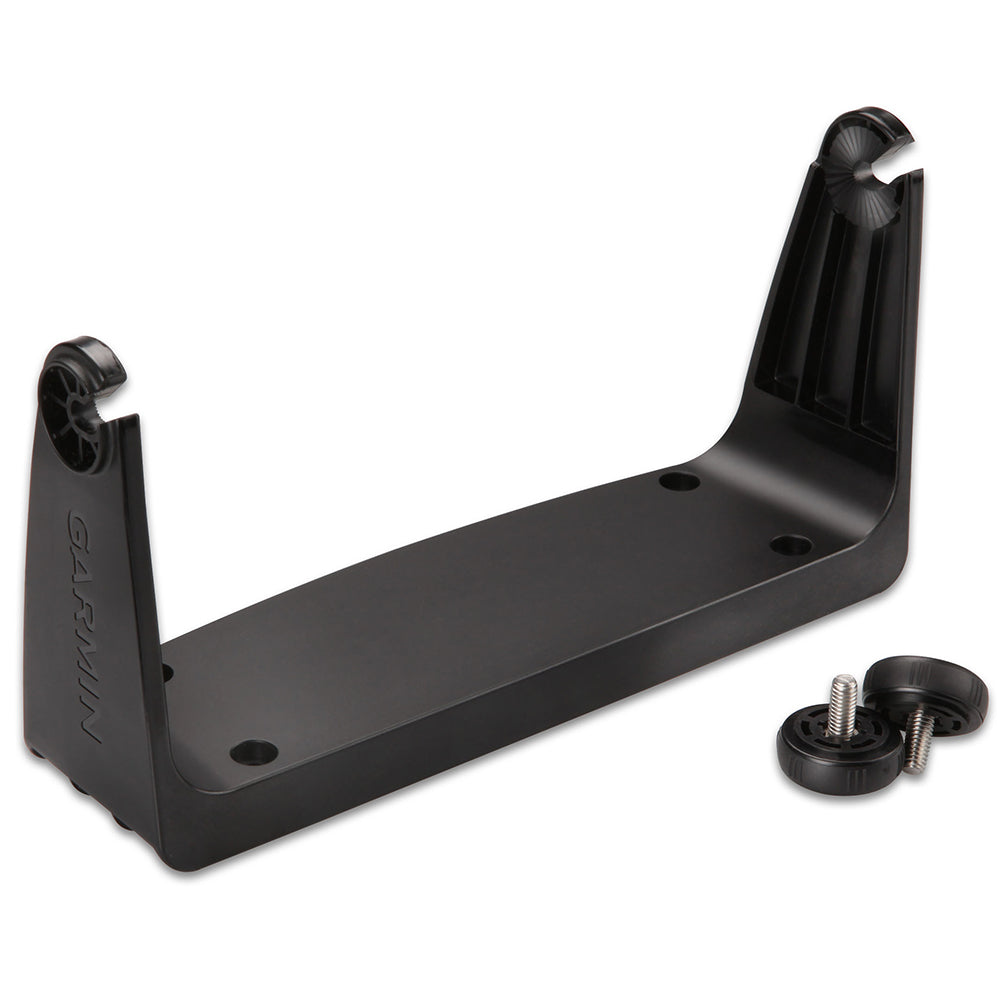
Garmin Bail Mount w/Knobs f/echoMAP CHIRP 7xsv 9xsv [010-12445-32]
Original price was: $29.99.$12.00Current price is: $12.00. -
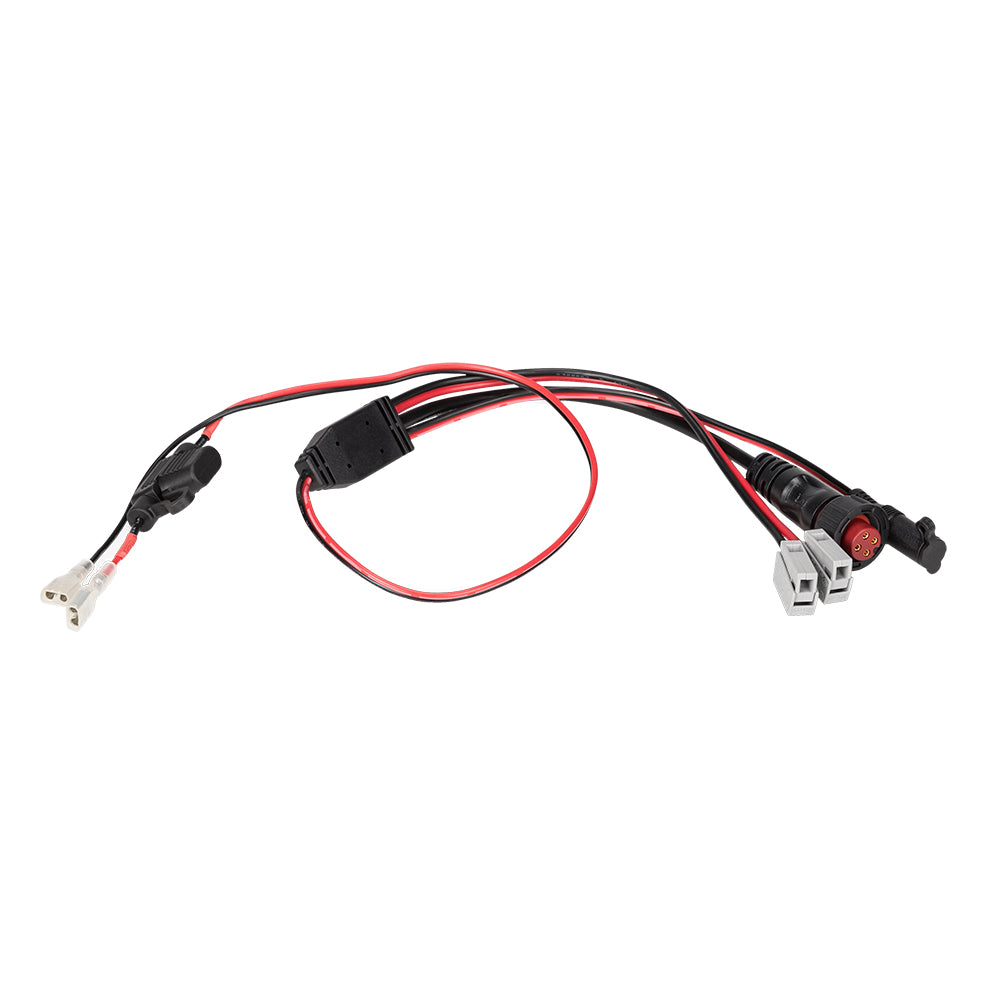
Accessories
Garmin Panoptix Ice Fishing Replacement Power Cable [010-12676-35]
Original price was: $39.99.$16.00Current price is: $16.00. -
Accessories
Garmin Bail Mount w/Knobs f/echoMAP 70dv/70s GPSMAP 741/xs [010-11967-00]
Original price was: $29.99.$12.00Current price is: $12.00. -
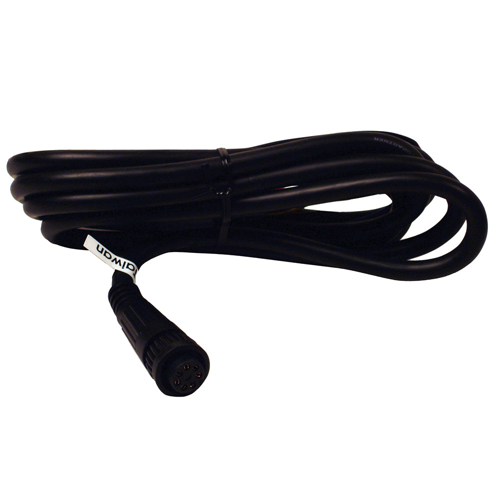
Best Sellers
Garmin ECU Power Cable f/GHP 10 – Twist Lock
Original price was: $59.99.$18.00Current price is: $18.00. -
Electronics
Garmin Radar Power Cable [010-12067-00]
Original price was: $53.99.$16.20Current price is: $16.20. -
Accessories
Garmin Power Cable f/GMS 10 [010-10553-00]
Original price was: $29.00.$11.60Current price is: $11.60.


Reviews
There are no reviews yet.